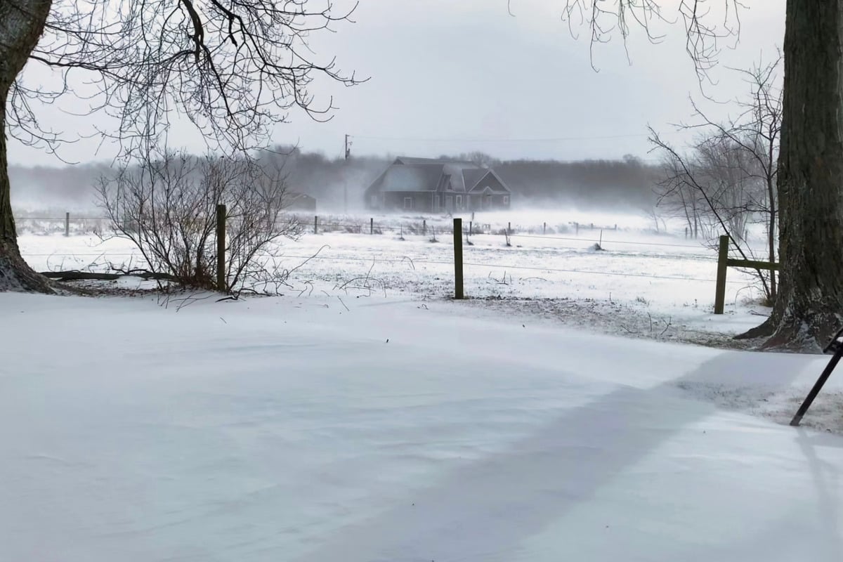
UPDATE: St. Louis is bracing for a significant weather shift as the National Weather Service has issued an urgent forecast for snowfall and freezing temperatures starting this evening. Residents can expect snow to begin by 4 p.m. and continue overnight, creating potentially hazardous conditions on roads.
Temperatures are projected to drop to the low 20s, with a 50% chance of snow before 1 a.m.. Officials warn that roads may become slippery as the night progresses, urging residents to exercise caution while traveling.
Earlier today, St. Louis experienced increasing cloud cover with a high of 39 degrees, but conditions are set to deteriorate rapidly. A mix of rain and snow is anticipated between 4 p.m. and 5 p.m., with a 30% chance of precipitation. As nighttime falls, temperatures are expected to plunge to around 15 degrees, exacerbated by northern winds.
In a positive note, the Hazardous Weather Outlook suggests that after this cold spell, St. Louis will see clearer skies and calmer conditions. Starting Thursday, residents can look forward to sunnier weather with a high near 24 degrees. However, temperatures may remain chilly at night.
Looking ahead to the weekend, Friday is projected to reach a high near 39 degrees, with mostly cloudy nights and partly sunny days following. Sunday may bring a 20% chance of rain, but early next week temperatures are expected to rise slightly, possibly reaching the mid-40s by Tuesday.
Stay tuned for further updates as the situation develops, and remain safe during this winter weather event.