URGENT UPDATE: The warmest weather of the year is hitting Myrtle Beach, SC today, with temperatures soaring into the lower 70s before a significant cold front sweeps through this weekend. As of now, gusty winds from the southwest are driving in this unseasonable warmth, but prepare for possible showers and storms on Saturday.
This afternoon, expect highs in the lower 70s along the Grand Strand, with local inland areas pushing close to record highs. Specifically, Florence could tie or break its record of 83°F, while Lumberton approaches its record of 80°F. However, a DENSE FOG ADVISORY is in effect today, making visibility dangerous, particularly over the Atlantic.
Travel impacts remain minimal, but conditions are ripe for sea fog along the coast. As clouds give way to sunshine, be aware of stiff winds gusting between 20-30 mph later today, making for a blustery afternoon.
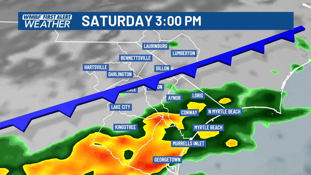
Looking ahead to the weekend, rain chances increase with the approach of a cold front. On Saturday, plan for intermittent showers throughout the day, particularly in the morning and again in the afternoon. There’s an increasing risk of thunderstorms as the front pushes through, with temperatures dropping to the lower to middle 60s.
By Sunday, lingering showers are expected, with cloudy skies dominating the day. Temperatures will continue to fall, with highs only reaching the 50s and breezy conditions setting in as cooler air takes over.
Next week, prepare for a significant temperature drop. Mornings will dip into the 20s and 30s, with afternoons struggling to reach the 40s. Stay informed and prepared as the weather shifts dramatically.
For continuous updates, follow WMBF and download our app for real-time alerts.