UPDATE: Approximately 72 million Americans are bracing for severe winter weather this holiday weekend as powerful winds and snowstorms disrupt travel plans across the country. A massive weather system is sweeping from the High Plains and Rocky Mountains to the Northeast, with wind gusts expected to reach up to 60 mph in several regions.
The most intense winds are forecasted to strike areas in Appalachia, New England, and coastal Maine. Communities from Washington, D.C., to Boston will face ongoing rain and wind until evening hours, significantly impacting holiday travel.
However, the most severe disruptions are anticipated on the West Coast, particularly in California, during the week leading up to Christmas. After dodging the recent brutal storm that wreaked havoc in the Northwest with relentless rain and flooding, California is now facing a series of storms bringing heavy downpours from this weekend through December 25, 2023.
Flooding risks are escalating, with urban flooding, small-stream overflows, and potential river flooding expected. Areas at lower and mid-levels could see several inches of rain, especially on the west- and southwest-facing mountain slopes.
Airports across the Northeast may experience significant delays due to adverse conditions, as lake-effect snow blankets the region. “A somewhat larger clipper storm will affect parts of the Upper Midwest and Northeast from Monday to Tuesday,” said AccuWeather Senior Meteorologist Adam Douty. Tuesday is projected to be the most challenging day for weather-related travel disruptions, particularly impacting regions from northern Pennsylvania through New York and into central and northern New England.
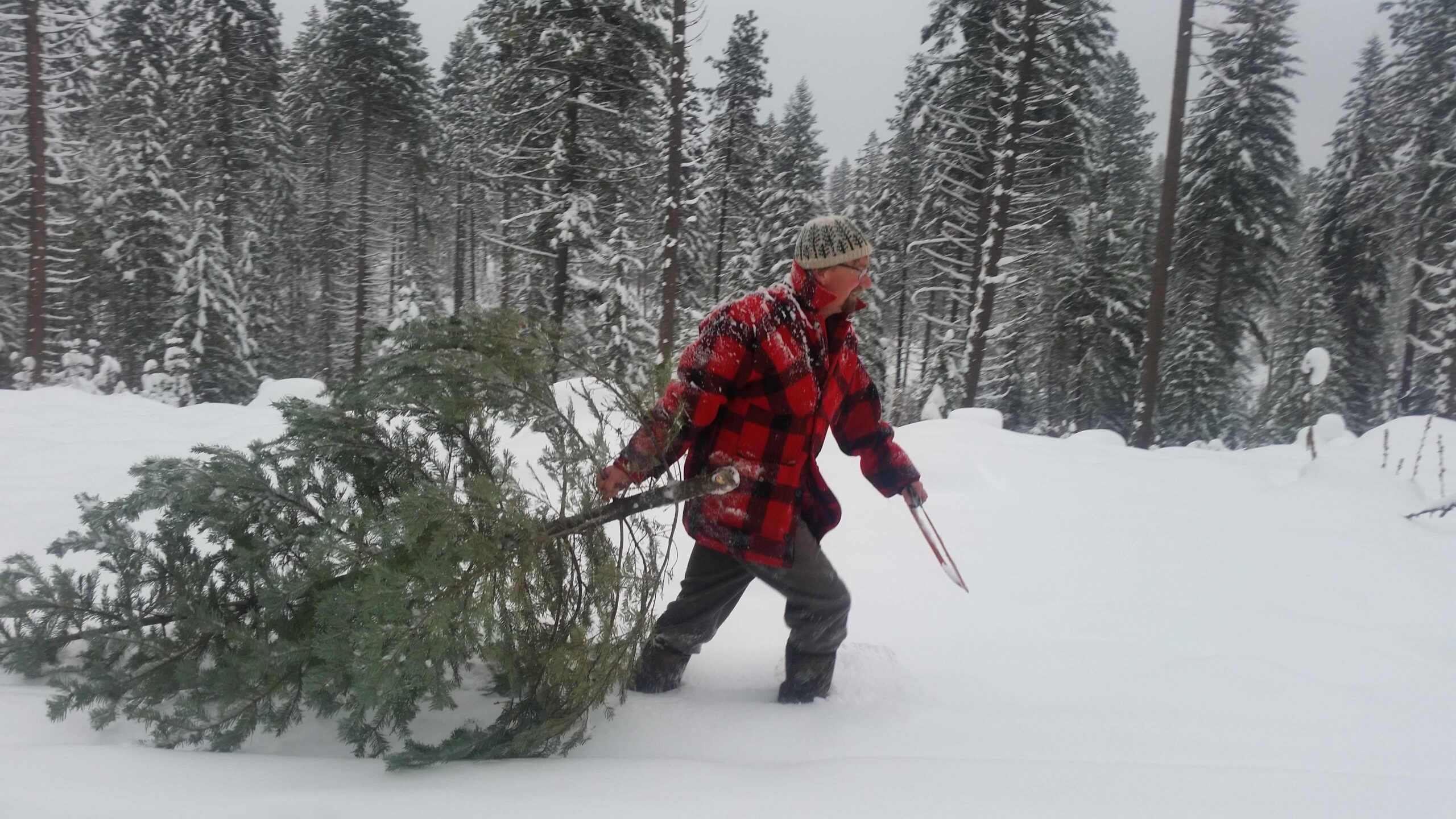
In the Sierra Nevada and parts of the Cascades, multiple feet of snow will fall at higher elevations, with snow levels dipping to pass levels, complicating travel.
While the weekend outlook appears calmer in the Great Lakes area, states avoiding the wintry blast are on track for one of the warmest Christmases on record in at least a dozen states. Temperatures could soar into the 70s and 80s Fahrenheit, breaking daily records from Texas to Missouri and Georgia on both Christmas Eve and Christmas Day.
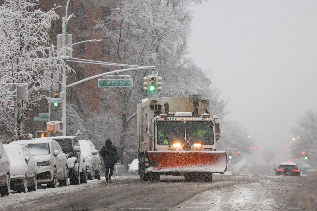
New Yorkers hoping for a white Christmas may be disappointed. The holiday is expected to be dry and comfortable with temperatures in the mid-40s, although light snowfall is possible early next week. “There is a chance for a little bit of snow later Monday night, Tuesday morning,” said AccuWeather Senior Meteorologist John Feerick, though any accumulation would likely melt by Christmas.
Historically, a white Christmas in New York City is rare, with only six instances of over an inch of snowfall on Christmas Day in the last 156 years. The last significant accumulation was in 2002, when 5 inches fell in Central Park.
As millions prepare for the holiday weekend, stay informed on the latest weather updates and travel advisories to navigate these challenging conditions.