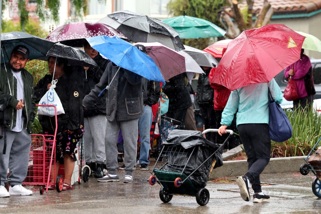
UPDATE: An atmospheric river storm is rapidly approaching the Bay Area, with the National Weather Service (NWS) warning of high winds and heavy rain expected to hit the region tonight. This storm, classified as a “moderate scale” event, is set to arrive around 10 p.m. on November 1, 2023, and will linger for approximately 24 hours.
Forecasters indicate that the storm center is developing just northwest of San Francisco and will bring a robust cold front that could unleash powerful winds and significant rainfall across the area. Areas most at risk include Alameda, Contra Costa, San Mateo, and Santa Cruz counties, where winds may gust up to 50 mph. In Sonoma and Napa counties, gusts could reach as high as 60 mph.
NWS meteorologist Rick Canepa emphasized the storm’s intensification, stating, “It’s deepening quickly. We’re seeing rapid pressure falls that will combine with the existing high pressure over the land.” This combination is creating an unstable atmosphere, leading to the potential for thunder and lightning in some areas.
The weather service has issued a high-wind warning for the North Bay and a wind advisory for the rest of the region, effective from 10 p.m. Wednesday until 10 a.m. Thursday. Heavy rainfall is anticipated, with a 50% chance of at least one inch falling across most of the Bay Area. However, areas in the Santa Clara Valley, including San Jose, will have a lower probability of significant rain due to the rain shadow effect, which can leave some regions dry.
In stark contrast, areas above Santa Rosa could see nearly 2 inches of rain, highlighting the uneven impact of the storm. Canepa noted a slowing of the storm’s movement, which could prolong its effects into Thursday.
The storm will also significantly impact travel in the Sierra Nevada, where a winter storm advisory has been issued for elevations above 8,000 feet. Snowfall of up to 4 inches is expected, along with wind gusts reaching up to 90 mph in the higher peaks, creating hazardous conditions for travelers.
Residents are advised to prepare for potential power outages and hazardous travel conditions as the storm moves in. The storm is expected to taper off by Thursday afternoon, with occasional lingering showers.
This developing weather situation is critical for the Bay Area, and residents are urged to stay updated with local news and NWS alerts for the latest information. Share this urgent update with your community to keep everyone informed and safe.